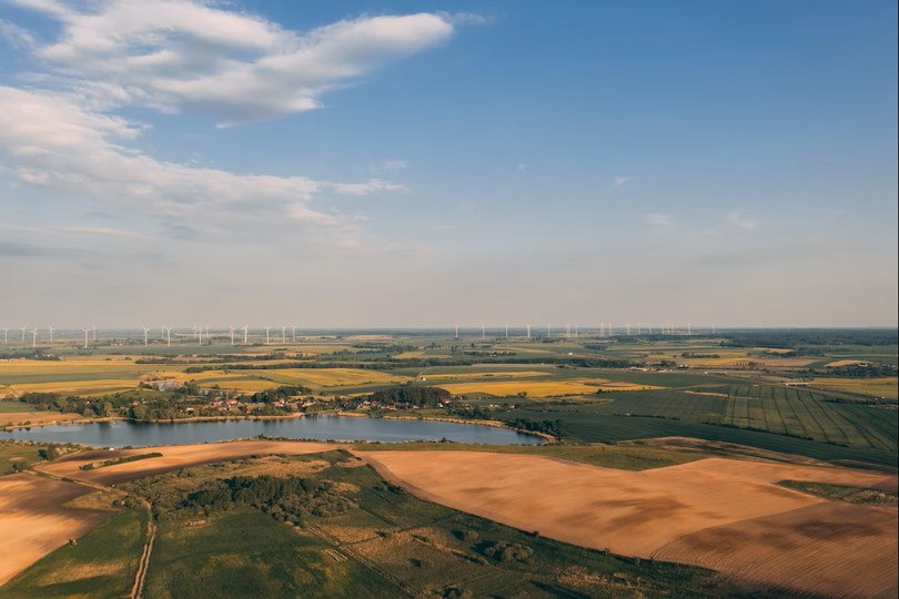
At Gilytics, we understand that community engagement is a cornerstone of successful energy infrastructure projects. As the landscape of energy planning becomes increasingly complex, the need for transparent communication and collaboration with local stakeholders is more critical than ever. Engaging communities effectively not only fosters trust but also enhances project acceptance and success. The Importance

Gilytics AG, Limmatstrasse 65, 8005, Zürich, Switzerland
Registration Number CHE-326.677.743